
Block Sources for Camden Neighbors
Camden neighbors can be researched from several records, but each one answers a narrow question. The Camden tax map defines parcels around a target address. Camden assessment data can identify an owner of record and tax mailing information. Recorded deeds show transfers and legal descriptions. Election material follows separate access rules, while community plans show public neighborhood context. Start with the Camden map and parcel data, then use a second source only for the detail it can actually support.
An owner is not automatically the person living at a Camden parcel. A Camden map is not a legal survey. A public Camden community contact is not a membership list. Keeping those differences in view prevents a nearby Camden parcel from becoming an unsupported claim about a household.
| Camden block source | What it can show | How to reach it |
|---|---|---|
| Camden City Tax Map Viewer | Camden adjacent parcels, current and historical block or lot, zoning, values, map sheet, and deed link | Public Camden web map, informational only |
| Camden Assessment Search Hub | Camden owner, property, class, sale or building filters, and B.L.Q. | Public Camden property search |
| Camden County Clerk deed index | Camden transfers and legal descriptions on nearby parcels | Online from 1978; older Camden archive channels |
| Camden election district material | Camden ward, district, and polling geography | County maps and a lawful records request |
| Camden City files | Camden address-specific permit, inspection, or code evidence | Bureau request, counter, or OPRA |
| Camden directories and maps | Camden historical street occupants and building context | Library, CCHS, and Library of Congress |
Camden County Property Assessment Search Hub shows the public property-search filters used to anchor a block inquiry.
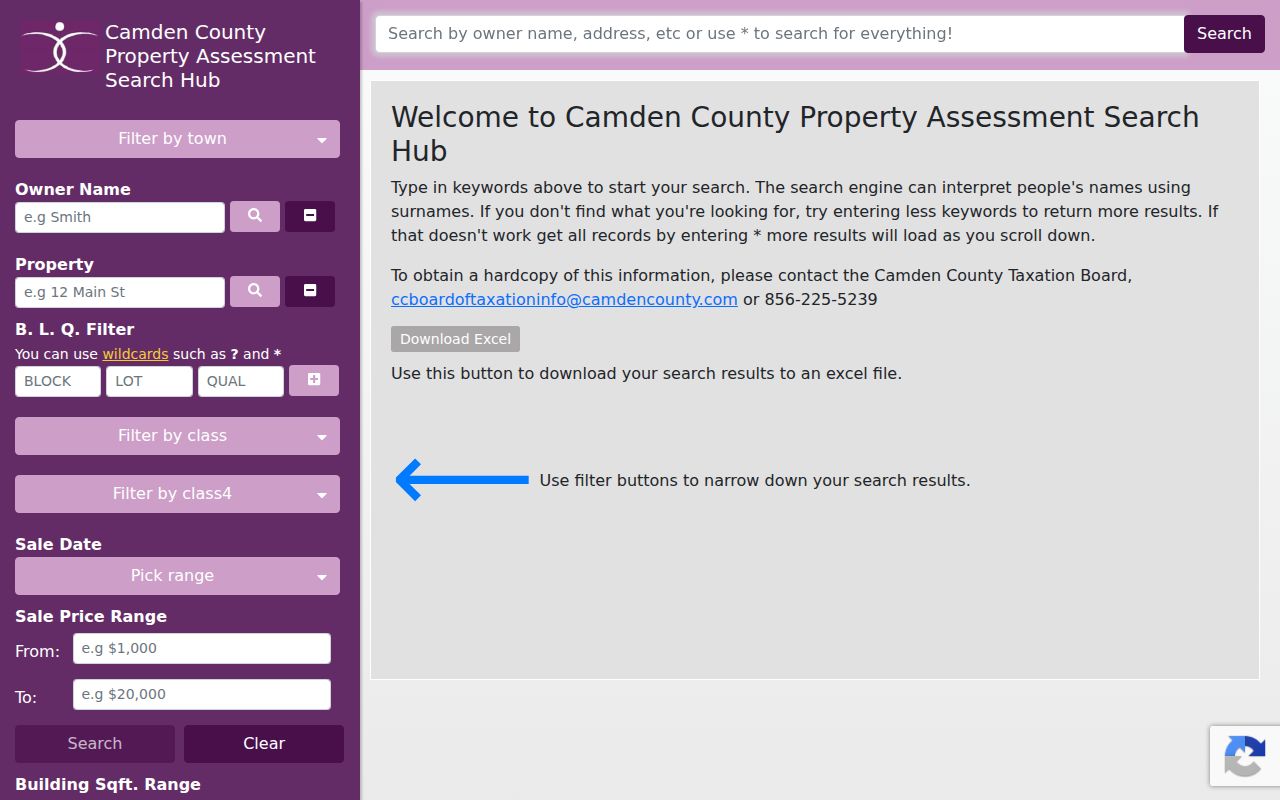
Owner Name, Property, Town, and B.L.Q. are different routes to the Camden parcel system, so a Camden street address should be matched to its parcel identifiers before nearby records are compared.
Map a Block Around Camden Neighbors
The Camden City Tax Map Viewer searches by municipality, block, lot, historical block, historical lot, street, house number, and map-sheet number. Find the target Camden parcel first. Its Camden Parcel Info card can display the location, acreage, zoning, values, map sheet, and linked map or deed. Return to Map It, then look one Camden block outward and select each abutting polygon. The inspected viewer did not expose a text buffer or radius tool, so the careful method is parcel by parcel.
The City Tax Map Viewer provides the search and map controls used for a Camden neighbors block review.
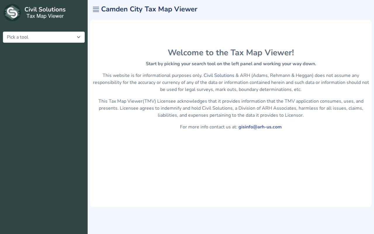
The viewer supplies an orientation layer for parcels and historic identifiers, but a map line must not be treated as a surveyed boundary.
- Enter the Camden municipality and target street and house number, or begin with known Camden block and lot identifiers.
- Open Camden Parcel Info and save the situs location, current and historical B.L.Q., zoning, map sheet, and deed link.
- Use Map It or the Camden map controls to view the abutting lots, including both frontages of a corner parcel.
- For each adjacent Camden parcel, compare the legal situs and identifiers before following its deed trail.
- Use the Camden street directory when the research question expands from one block to an entire named street.
That flow is deliberately narrow. It identifies parcels around a place, not every person connected with the block. Note: Keep a date beside each parcel result because ownership and assessment data can change.
Parcel Cards for Camden Neighbors
A Camden parcel card separates Owner Information from Parcel Information. The owner side can include a street address, city or state, and ZIP for a Camden tax mailing. The parcel side can include municipality, current block and lot, qualifier, location, acreage, property class, lead lot, historical block or lot, zoning, land and improvement value, net value, and map sheet. The card may also link to Map It, a legal document or deed, and a house photo when present.
| Parcel-card item | Careful reading |
|---|---|
| Location or situs | The parcel's physical Camden location. |
| Owner mailing address | A tax-contact clue, not evidence that the owner is at the parcel. |
| Current and historical B.L.Q. | Identifiers for joining maps, deeds, and changed parcels. |
| Map sheet and zoning | Map context, not proof of a boundary on the ground. |
| Deed link | A path to title evidence that should be read with its legal description. |
When a Camden parcel may have been reconfigured, historical block and lot fields are more useful than guessing from a modern address. Camden's growth and later territorial changes are one reason a neighborhood label, ZIP, and parcel description may point to different geographic frames. Record all Camden identifiers when comparing nearby lots.
Deed Trails for Camden Neighbors
The Camden County Clerk Property Records Online index begins January 1, 1978. A Camden deed search is normally party or legal-description keyed, not a broad postal-address list. Convert a nearby address to Camden B.L.Q. and legal description, search the owner as grantee, then read the prior seller as grantor. Search the seller as an earlier grantee to follow the next link. The same approach applies to each adjacent Camden parcel, one at a time.
NewVision's search help illustrates the standard and advanced controls available for Camden County Clerk records.
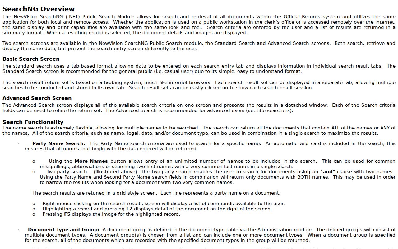
More Names, automatic wildcard searching, linked documents, F2 detail, and F5 image viewing can help distinguish a transfer from related filings.
For an older link, use the State Archives deed guide, FamilySearch deed images, CCHS originals, or the Clerk's counter and appointment path. The guide covers Camden deeds from 1844 to 1900 and indexes through 1912. CCHS holds some early original deeds that were never recorded. This means an online no-hit does not end the block history.
A deed gives a title relationship, not a complete household list. Compare its date and legal description with the parcel card before treating two similarly named people as the same party.
Camden Neighbors in Voter Files
New Jersey's official Am I Registered? route is an individual status tool, not a public street census. For block-scale research, election district maps place an address within ward and district geography. Camden County says maps are available for all municipalities and notes a $5 black-and-white map. Use the district to organize an inquiry, not to infer a complete list of people at every address.
Camden County Voting and Elections gives the public county contact route for election records and voter information.
The Board and Commissioner of Registration are the proper county contacts when a lawful file request or election-district confirmation is needed.
A written request should name Camden City, the election district or ward, requested fields, format, and date. State law allows a voter list to include name, address, party, ward, and district subject to rules, with a statutory reproduction cap of $375. Confirm the current form, delivery format, and any certification with the office. Signatures, Social Security numbers, driver-license and non-driver ID numbers, and protected addresses are excluded or redacted. Ballot choices remain secret. Note: Election district geography narrows an address inquiry, but it does not establish who lives at each parcel.
Camden Neighbors and Public Plans
Public planning material gives Camden neighbors useful local context without turning community groups into a household directory. City and county sources identify Camden planning areas such as North Camden, Cooper's Poynt, Pyne Poynt, Central Business District and Lanning Square, Bergen Square, Gateway, Waterfront South, Liberty Park, Centerville, Morgan Village, Fairview, Parkside, Whitman Park, Cramer Hill, Rosedale, Dudley, Marlton, and Stockton. These may be planning or redevelopment areas rather than postal or legal entities.
Camden Planning Division
Public planning resources cover zoning, flood review, historic review, subdivisions, maps, and planning applications.
Cooper's Ferry Partnership
Neighborhood plans and public meetings can provide area context and public contacts, not a private membership list.
St. Joseph's Carpenter Society
The East Camden plan is a public planning source. Participation or attendance does not establish residence.
No official citywide neighborhood-association or HOA member directory was located in the research. Public meeting notices, planning contacts, congregations, block watches, and civic groups may be useful for learning how a block is organized, but names in a flyer must not be treated as a resident list.
Camden Neighbors and Statewide Parcels
The statewide NJGIN parcel service is valuable for map geometry and its relationship to MOD-IV and PIN data. It is not a legal survey. More importantly for Camden neighbors work, owner names have been redacted from hosted statewide parcel and tax-download services under Daniel's Law. When a public name-bearing property record is appropriate and available, return to Camden's municipal or county assessment system and the Clerk's index.
NJGIN Parcels explains the statewide map framework and the privacy limitation that affects Camden block research.
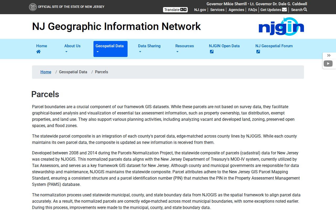
The redaction is a privacy protection, not a signal that a parcel lacks an owner or that a local assessment record is wrong.
| Official Camden records | Commercial neighbor tools |
|---|---|
| Identify the custodian, parcel fields, date, and access limits. | May combine public and brokered data with uncertain update timing or source labels. |
| Let a deed, assessment record, or map support only what it actually records. | Treat any result as an unverified lead, not proof of identity or occupancy. |
| Offer a correction path through the record custodian. | Removal or correction does not change the underlying official record. |
Privacy Limits for Camden Neighbors
Some block information is private or intentionally redacted. Property rolls do not list every person at an address. Utility, delivery, and motor-vehicle data are not public neighborhood records. Court and vital material can be sealed or restricted. The New Jersey Address Confidentiality Program uses a legal substitute address for eligible participants, and Daniel's Law protects covered public-safety and judicial persons and their households. A missing address can be a protection, not an error to work around.
New Jersey's Open Public Records Act provides a path for specific government records, but privacy exemptions and redactions still apply. A focused request to the correct custodian should name the address, record type, date range, and requested format. Respect the records that are withheld and confirm an important result with its custodian before relying on it.