
Camden ZIP Code Directory Coverage
The Camden ZIP code directory has five core postal codes: four standard delivery areas and one PO Box type. The neighborhood descriptions below are practical Camden contexts drawn from City documents, not surveyed boundary lines. Use a full street number in the USPS ZIP Code Lookup whenever an address sits near an edge. The post office assigns a routing ZIP; it does not create a legal parcel boundary or prove municipal jurisdiction.
| ZIP | Camden contexts | Post office type | Record-search note |
|---|---|---|---|
| 08101 | PO boxes and some institutional or administrative addressing | Camden PO Box | Not a physical neighborhood |
| 08102 | Downtown, Central Waterfront, Cooper Grant, Rutgers and City Hall context | Camden standard | Check each street number with USPS |
| 08103 | South and central contexts, including Parkside and Whitman-area addresses | Camden standard | Postal label is not a legal boundary |
| 08104 | Fairview, Morgan Village, Waterfront South, Whitman and southern contexts | Camden standard | Verify nearby postal aliases by address |
| 08105 | East Camden, Cramer Hill, Biedeman, Pavonia and northern or eastern contexts | Camden standard | Nearby postal cities use other ZIPs |
Postal references also place 08107, 08108, 08109, and 08110 in the surrounding Camden County geography. They are not core Camden-city codes without an exact address match. Use the directory to narrow a search, not decide it.
Camden ZIP Code 08101
08101 is the key Camden exception. Research identifies it as a PO Box type, while 08102 through 08105 are standard physical-delivery ZIPs. A PO Box is a mail destination, not a street location. It cannot answer a question about the block where a person lives or the parcel attached to a house. Some institutional or administrative correspondence may use the code, which makes it especially important not to turn a mailing label into a neighborhood conclusion.
This PO Box distinction is a practical postal quirk. In a Camden postal-area search, replace 08101 with a verified street address before moving to a tax map, deed index, or neighborhood research. The USPS tool is the appropriate tie-breaker for mail routing; the City assessment and tax-map systems are the better sources for a physical parcel.
Camden ZIP Code 08102
08102 is the Camden postal context for downtown, the Central Waterfront, Cooper Grant, Rutgers, City Hall, and nearby north and central areas. City records use 520 Market Street, Camden, NJ 08102 for City Hall. That makes the ZIP a useful first sorting label for a request to a municipal office, yet it still does not tell where its boundary falls on every block. A building on a nearby street should be validated with the exact USPS result before any ZIP-specific search is saved.
Camden’s historic growth also complicates a modern postal label. The City was incorporated in 1828, expanded under a revised charter in 1871, annexed Stockton in 1899, and took part from Haddon Township in 1918. Older deeds and directories may use a different municipal context. A current five-digit code is not a substitute for the historic block, lot, ward, or legal description.
Camden ZIP Code Contexts
08103 supplies south and central Camden context, including Parkside and Whitman-area addresses. 08104 covers Fairview, Morgan Village, Waterfront South, Whitman, and other southern contexts in City material. In the east and north, 08105 is associated with East Camden, Cramer Hill, Biedeman, and Pavonia. These are useful starting descriptions for reading an address, but planning and redevelopment names are not USPS units. A property can have a Camden postal city and still require parcel-level confirmation.
The City’s Tax Map Viewer is the local bridge from a postal address to more stable identifiers. It searches Municipality, Block, Lot, Qualifier, Historical Block, Historical Lot, Street, House Number, and Map Sheet Number.
The captured Camden Tax Map Viewer shows the address and parcel search controls needed after a ZIP has narrowed the area.
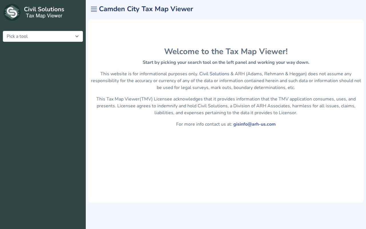
The parcel card distinguishes the situs from an owner mailing address and can show current and historical B.L.Q., zoning, values, map sheet, and deed links. It is an informational map, not a legal survey.
Note: A postal area narrows an address search, while the B.L.Q. and legal description carry the stronger Camden parcel identifiers.
Search Camden by ZIP Code
Finding people within a ZIP requires a narrow workflow because the Camden portals inspected do not provide an unrestricted ZIP-wide resident list. The assessment hub accepts property-oriented fields, the tax map works with street and parcel identifiers, and the state voter status tool serves individual checks. Use the five-digit code to prepare an address search, then verify the result through the proper system. Once the street is known, the Camden street directory has the fuller address-by-address record chain.
- Enter the street number and street in the USPS lookup to obtain the standardized Camden postal code.
- Search the City Tax Map Viewer by street and house number, or use a known block, lot, and qualifier.
- Use the assessment hub’s Town and Property filters to confirm the parcel and its current tax record.
- For voter records, use the individual state status route or request a lawful, specific county election file subject to redactions.
A complete voter file is a separate written request to the Camden County Commissioner of Registration or Board of Elections. It may include name, address, party, and ward or district under election-record rules, subject to protected-person redactions and a statutory reproduction cap of $375. It is not a ZIP browse tool.
Camden ZIP Code Portal Fields
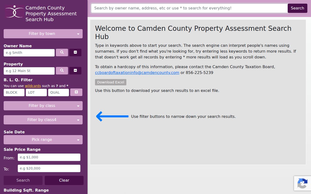
The Camden County Property Assessment Search Hub is ZIP-adjacent rather than ZIP-native. Its visible fields help narrow the address within the ZIP, but the inspected page did not show a ZIP filter. A user can combine Town with Property or owner information and then keep the full address and B.L.Q. in the result. Do not assume a hidden advanced ZIP search exists.
| Assessment field | How it helps after ZIP verification |
|---|---|
| Town | Separates Camden from other county municipalities sharing postal geography. |
| Property | Starts with a street address after USPS standardization. |
| Owner Name | Checks a known owner, not every occupant. |
| B.L.Q. | Connects the address to block, lot, qualifier, deeds, and tax records. |
| Class, sales, year built | Adds property context without establishing who lives there. |
The assessment-hub capture shows the property and owner filters available for a Camden address search.
Tax Map Viewer likewise has no inspected ZIP field. Its Street and House Number tools make it the more direct local follow-up after USPS has confirmed the mail-routing ZIP.
Camden ZIP Code Boundaries
Postal boundaries and Camden city limits are different systems. A Camden County ZIP can serve Haddon Township, Oaklyn, Collingswood, Merchantville, or Pennsauken addresses. Conversely, a mailing label that says Camden does not prove a parcel is inside Camden city. The postal service standardizes delivery, while a city tax map and assessment record identify the parcel’s municipal setting. Use all three values when a record matters: street address, postal ZIP, and city or municipality.
- ZIP and ZIP+4
- The five-digit ZIP identifies a postal area. ZIP+4 adds a smaller delivery segment to help sort mail.
- PO Box ZIP
- A ZIP used for post-office boxes. It is a mail destination, not a physical neighborhood boundary.
- Unique ZIP
- A routing ZIP assigned to one organization. The research does not identify a core Camden code as a unique ZIP.
- Carrier route
- A postal delivery sequence used for mail handling. It is not a parcel boundary or resident register.
Note: USPS returns a standardized address and ZIP but does not guarantee that displayed address is a business’s actual location.
Camden ZIP Code Parcel Limits
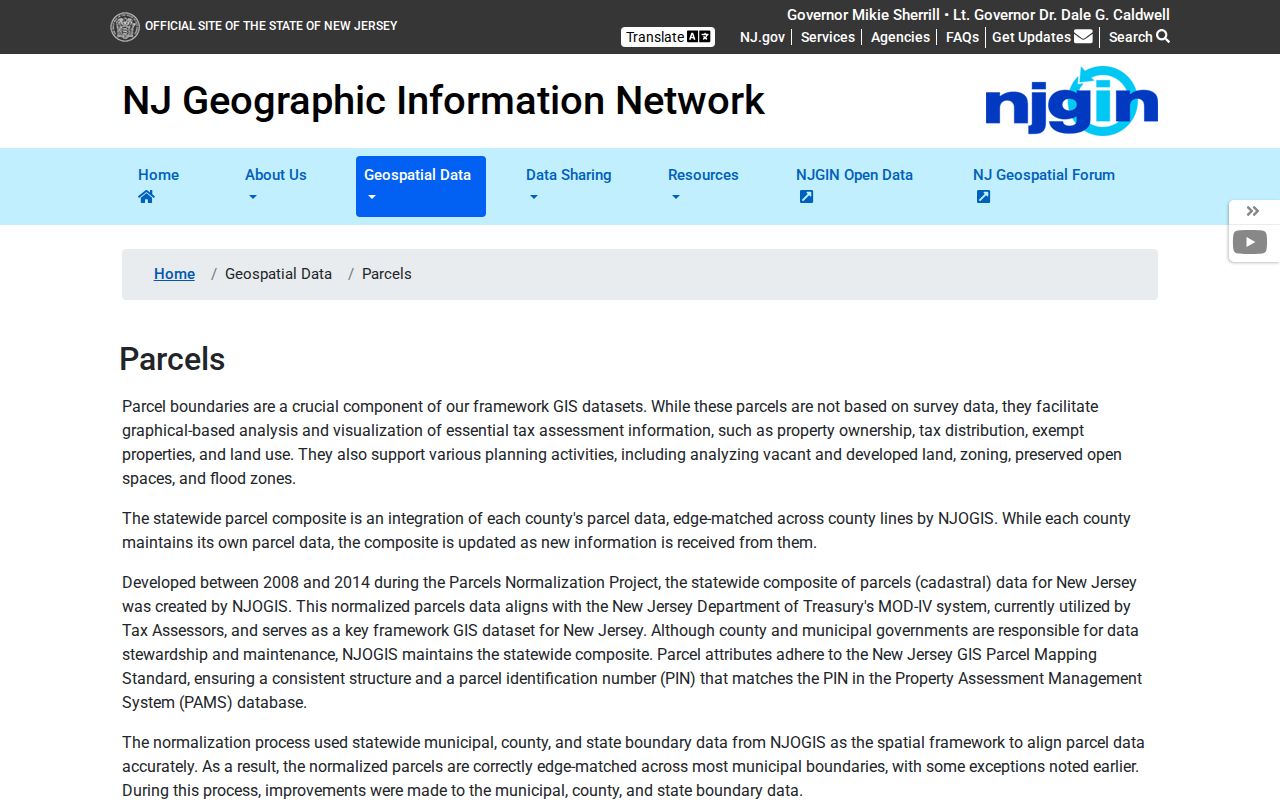
The statewide NJGIN parcel service is helpful when a ZIP points toward the right area but leaves the block uncertain. NJGIN describes Property Explorer, the relationship between a PIN and the MOD-IV assessment identifier, and statewide parcel data. It also warns that parcel polygons are not survey data. More importantly, owner names in statewide hosted products are redacted under Daniel’s Law, so a map click may establish geometry without showing the name needed for a Camden record check.
The NJGIN parcel page capture shows the statewide mapping resource and its parcel-data cautions.
For a public owner name where no protection applies, move from the map to Camden’s assessment hub or the County Clerk deed index. Do not try to infer a protected home address from a map, a mailing proxy, or linked sources.
Camden Postal History
Older Camden records predate ZIPs. For a historic address, record the street, cross streets, ward, legal description, block and lot, or map sheet rather than forcing a modern postal code onto the past. City directories, census records, deeds, tax maps, and the 1891 Library of Congress Sanborn edition describe different layers of the same place. A directory may list a street number, while a deed uses a lot and block. Pair a street entry with its directory year and map sheet before choosing a modern postal label.
Camden was separated from Gloucester County in 1844, so early land records may use Gloucester custody. The City tax viewer’s historical block and lot fields are the safer bridge when a parcel changed or a street address no longer lines up cleanly. The absence of a verified postal realignment year means a historic mailing conclusion should be tested with documents, not assumed from a map.
Note: Save the postal ZIP with the record, but preserve its historic block, lot, ward, and cross streets for future Camden research.